
 Digital Terrain Model
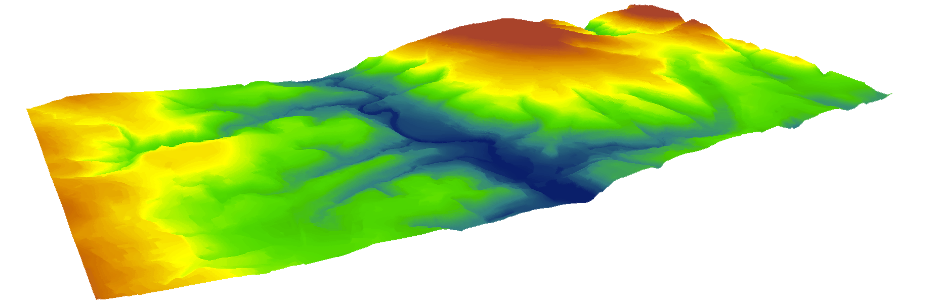
 Vector Maps
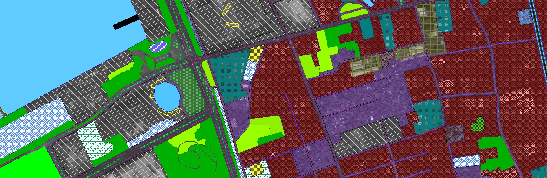
Vector Map is a vector-based collection of geographic information system (GIS) data about an area at various levels of detail. We offer:
 3D Models
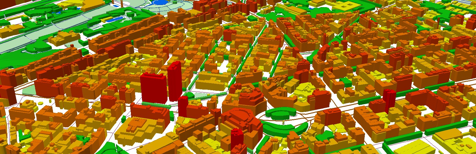
Our models are prepared with photogrammetrick methods using stereoscopic aerial/satellite imagery or LiDAR analysis on various levels of detail (LoD).
 2D Models
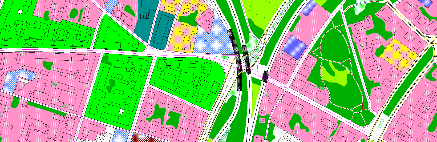
2D models based on orthoimagery input.
 Orthophoto
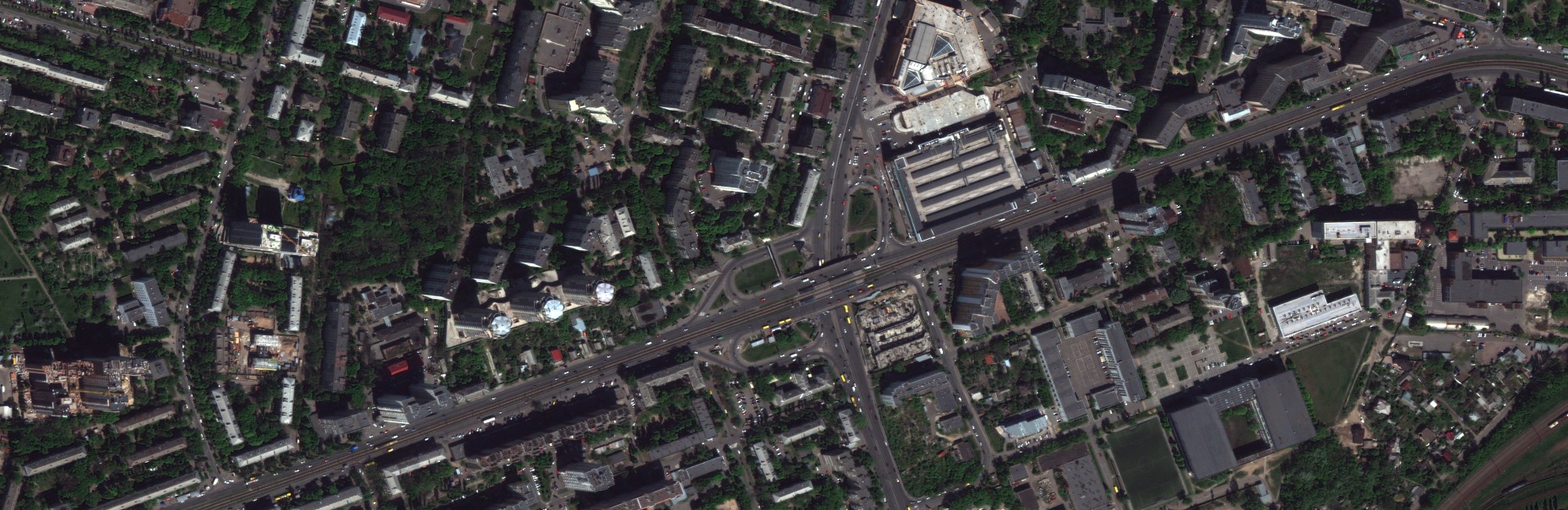
 LiDAR
LiDAR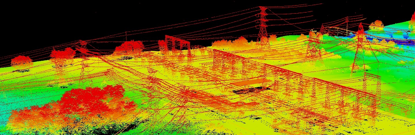
Aerial Laser Scanning (ALS) – measurement method based on laser scanning, that gives a digital cloud of points as a very accurate representation of ground.
 Aerotriangulation
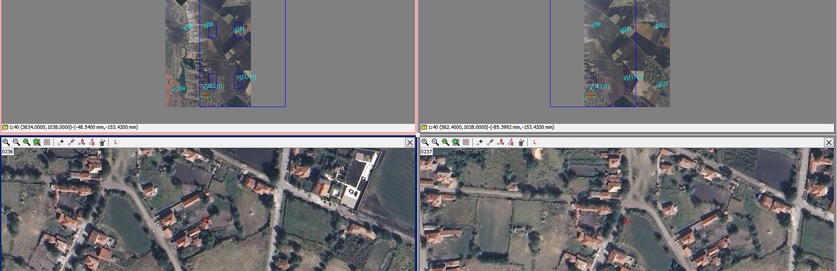
Digital aerial triangulation is a very crucial step in a photogrammetric process, when aerial imagery is coupled with geodesic points.